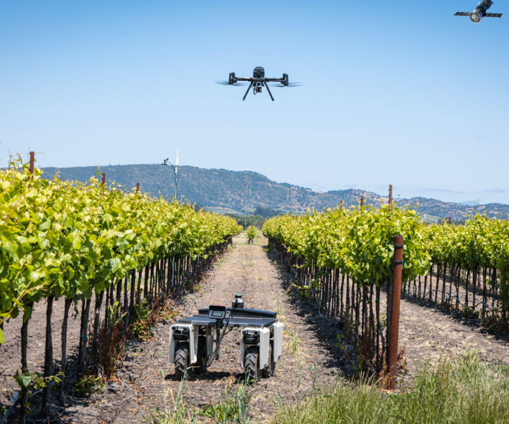
A unified intelligence platform that delivers seamless farm-level to leaf-level visibility — transforming every acre into actionable data and eliminating guesswork from decision-making.
Crop Health Monitoring via Choice of Imaging Services
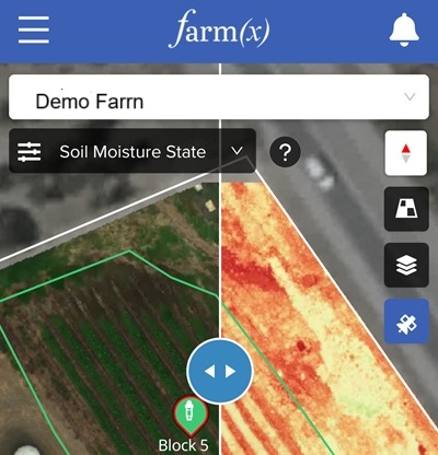
View - Satellite Imagery
Plant health, vigor, water threats
Identification
Assessment Tools: Evaluate performance across different fields, zones, or crop varieties.
Resolution Options: 2.39 meters - 9 meters
Satellite Data Providers: Planet Labs , Sentinel-2 (ESA)
Imaging Frequency Options: Every day or Every 5 days
Insight - High-Res Drone Imagery
AI-Powered Data Analysis - Anomaly Detection
Leaks, clogs, frost, & crop stress
Plant growth
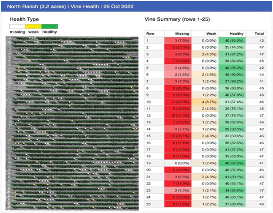
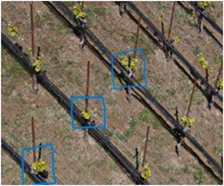
Plant by plant ID and analysis
Missing, dead, or unproductive plants
Resolution, <2 inches
Scheduled and on demand
On left, plants identified. Row by row summary of missing, dead, and unproductive vines. Statistics and location data enables vine re-ordering and organizing replanting field work