Satellite Imagery & Field Data
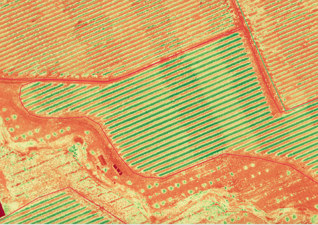
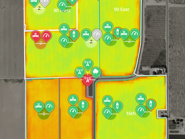
Field-level multispectral satellite imagery and weather data, with access to FarmX’s crop stress index.
Top features:
- Reduce crop loss and ensure uniform growth
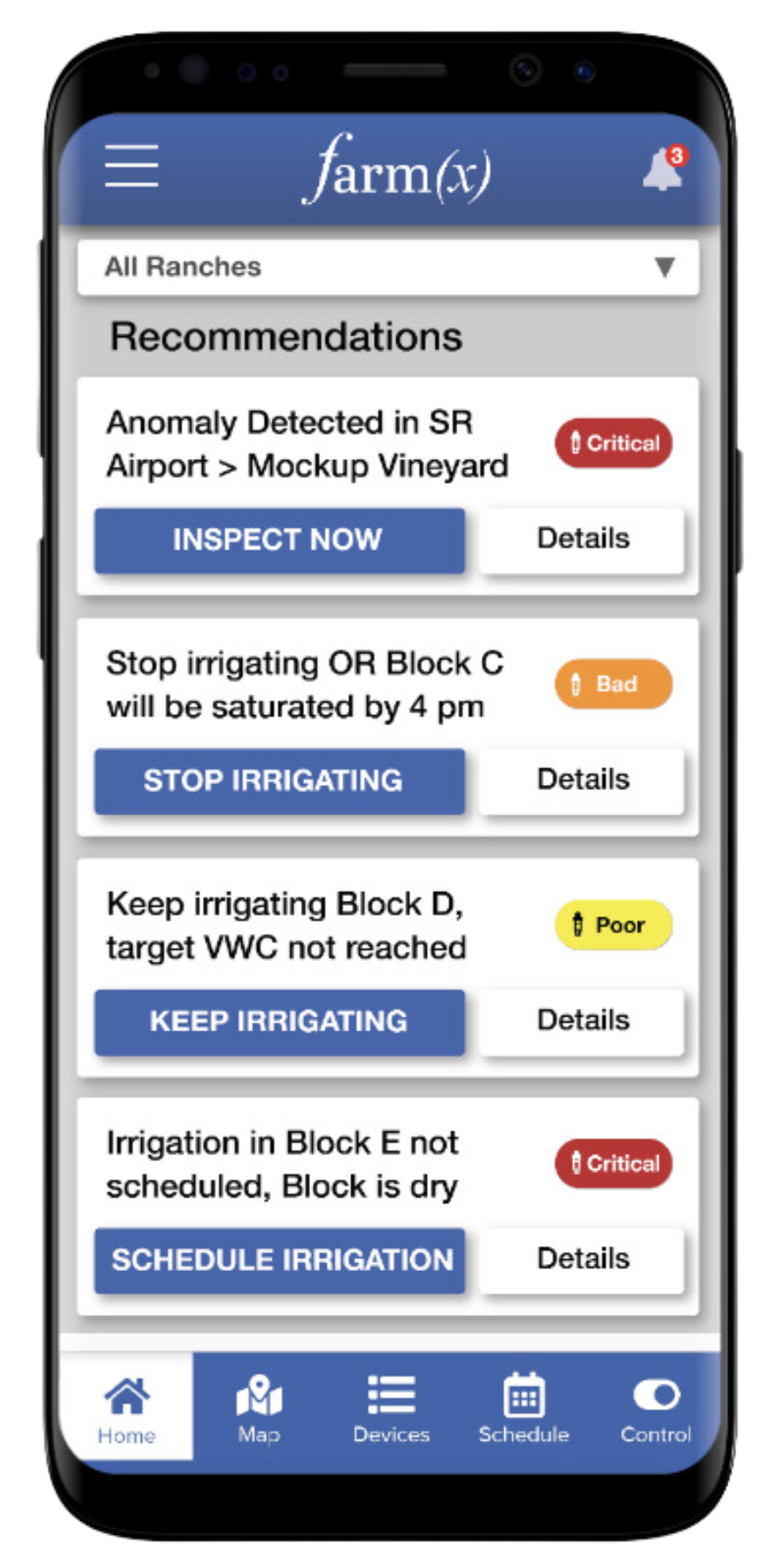
- Monitor irrigation system problems
- Early anomaly detection for potential disease and pest infestation


